Home
About Asarab
Who We Are
Director Message
Mission & Vision
Organization Chart
Clients
Certificates Of Competency
Association Membership
Iso
Quality Policy
Certificates
Brochure
What We Do
Our Portfolio
Contact Us
Branches
Colleagues
News
Enter your keyword
Search
Archives
Land Surveying
All
Agriculture
Environment
Fisheries
Irrigation and Drainage
Key Projects
Land Surveying
Port Construction
River Engineeing
Water and Wastewater
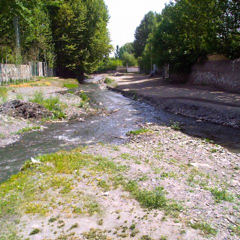
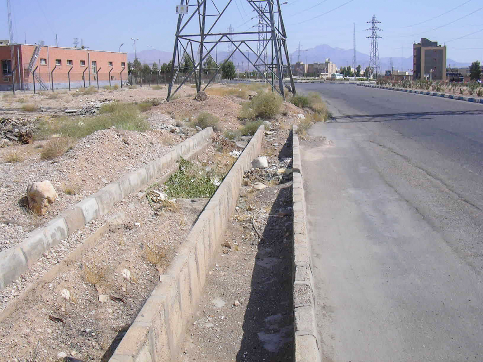
Collecting and Controlling of Runoff in Semnan County
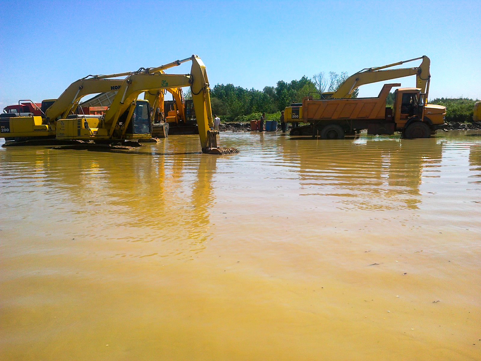
Water and Wastewater
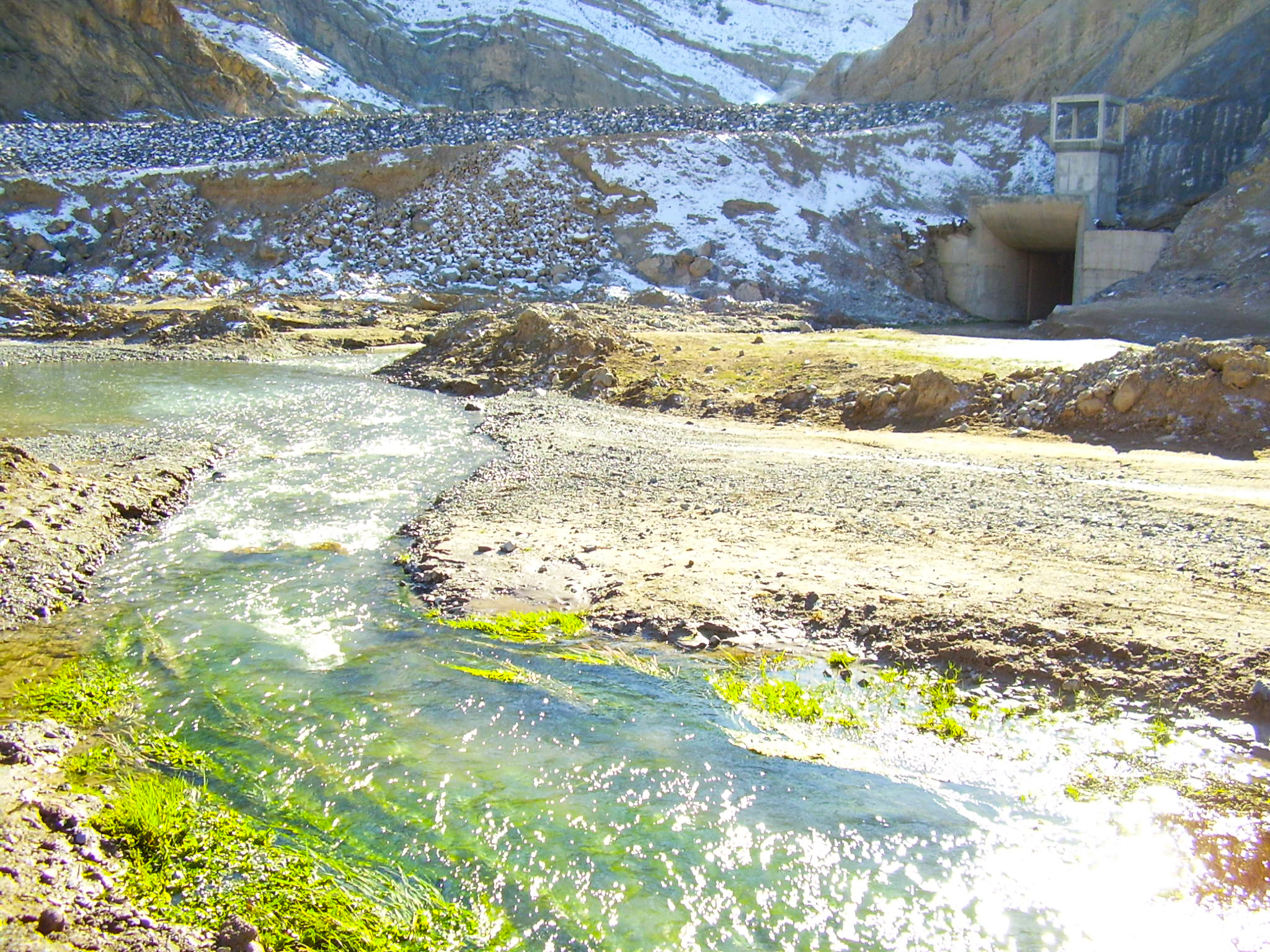
Engineering Study for Construction of Sediment Trap and Sediment Basin in the Siahdarvishan and Chomseqal Rivers through Engineering, Procurement and Construction Project
River Engineeing
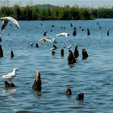
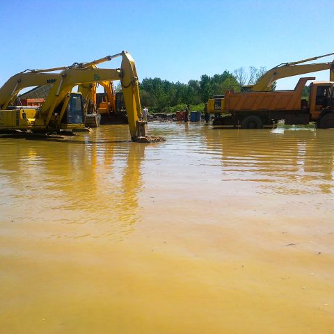
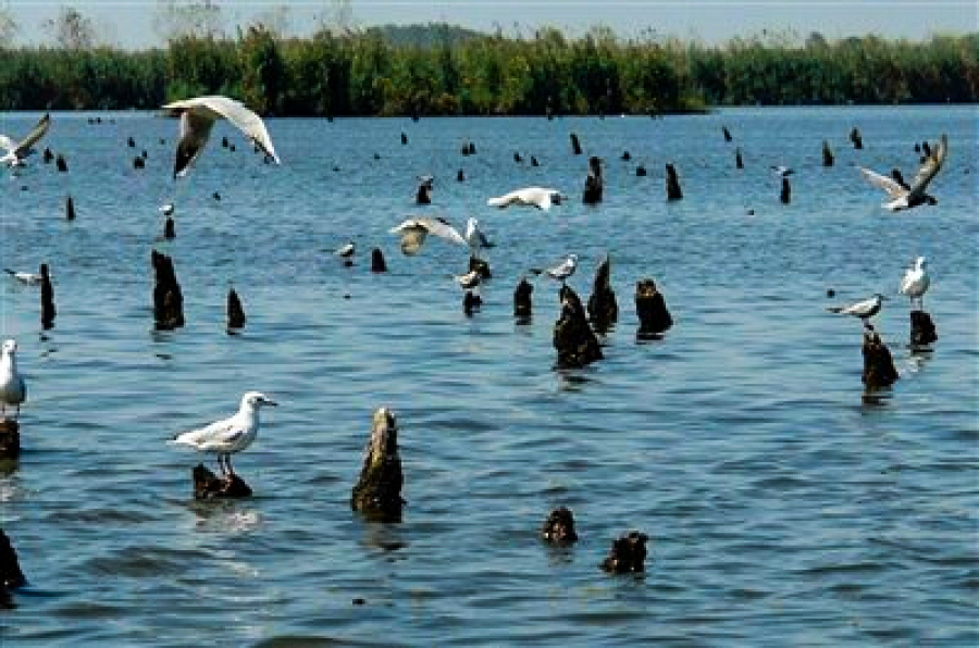
Engineering Study for Construction of Canal and Dredging in the Anzali Wetland through Engineering, Procurement and Construction Project
River Engineeing
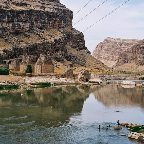
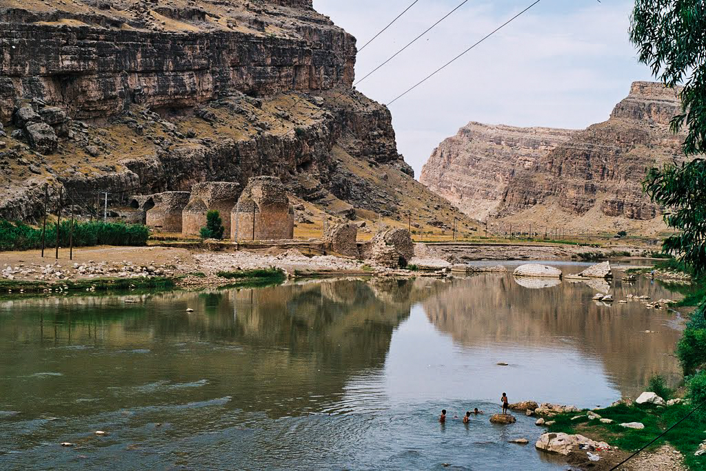
Riverbed and Right of Way Limit Delineation and Land Surveying of Five River Tributaries in the Karkheh Basin (Rivers named Kahman, Herodehno, Herokakareza, Kashkan, Poldokhtar and Cham Zakaria Delfan)
River Engineeing
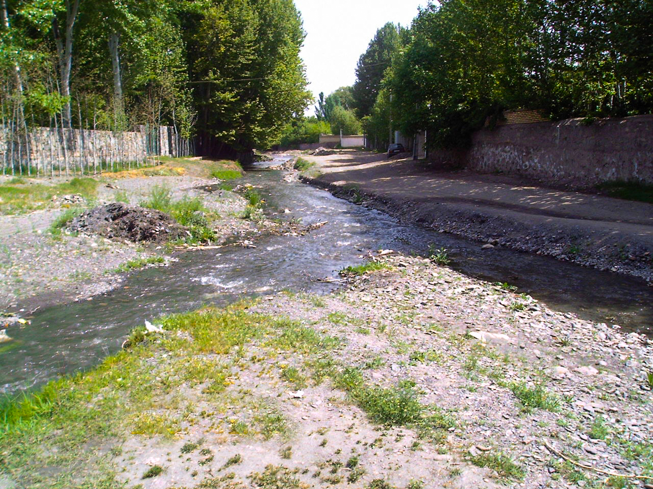
Riverbed and Right of Way Limit Delineation of Ardak River
River Engineeing
Riverbed and Right of Way Limit Delineation of Shandiz in Hesar Golestan and Maya Rivers
River Engineeing
Studies for breakwater repair, verifying and approving operational plans of Admiralty Commander along with superior and construction supervision for breakwater repair, wharf construction and harbour dredging of Fereydounkenar port
Port Construction
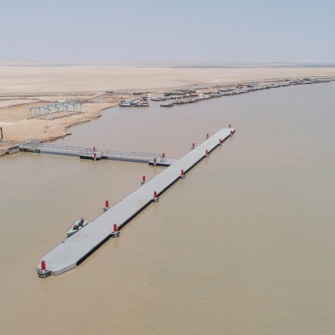
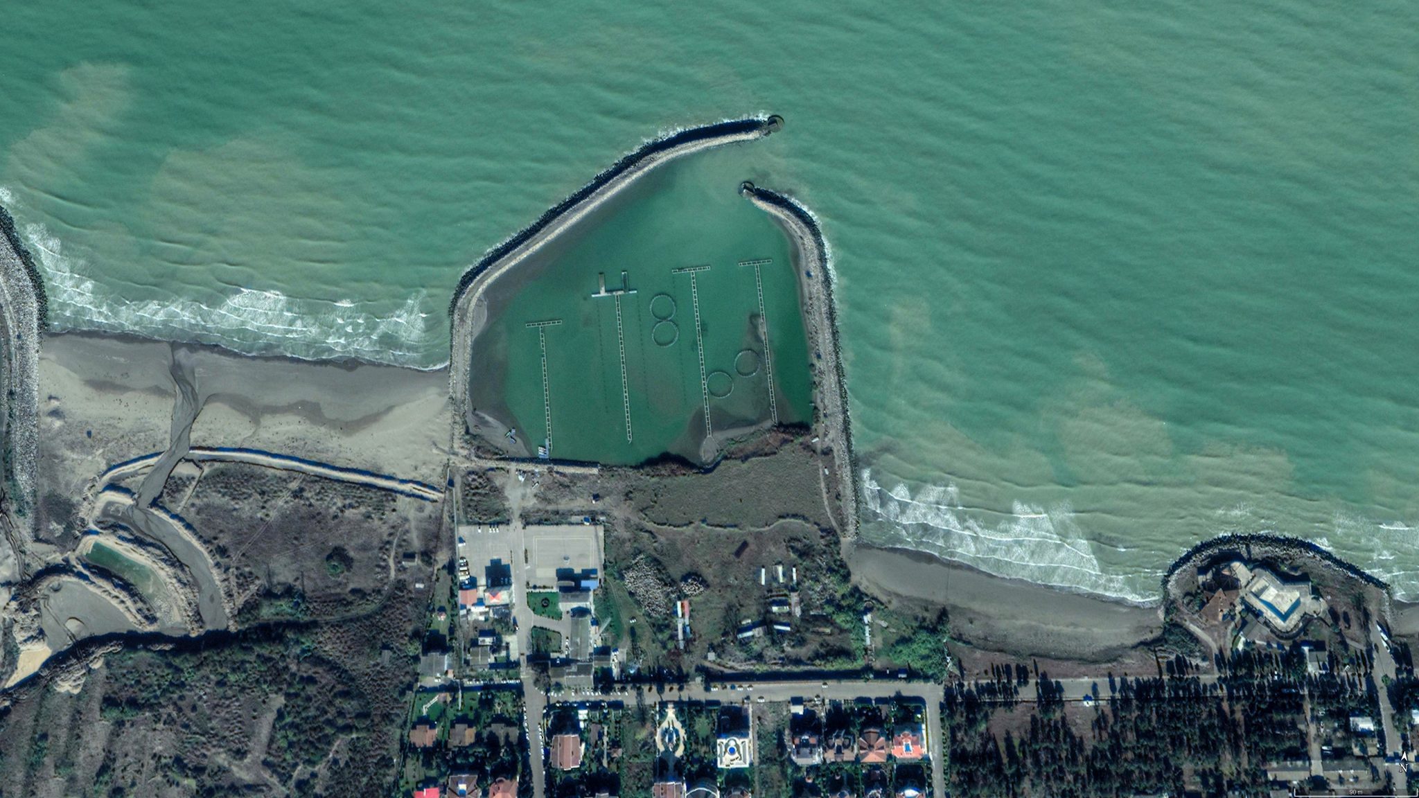
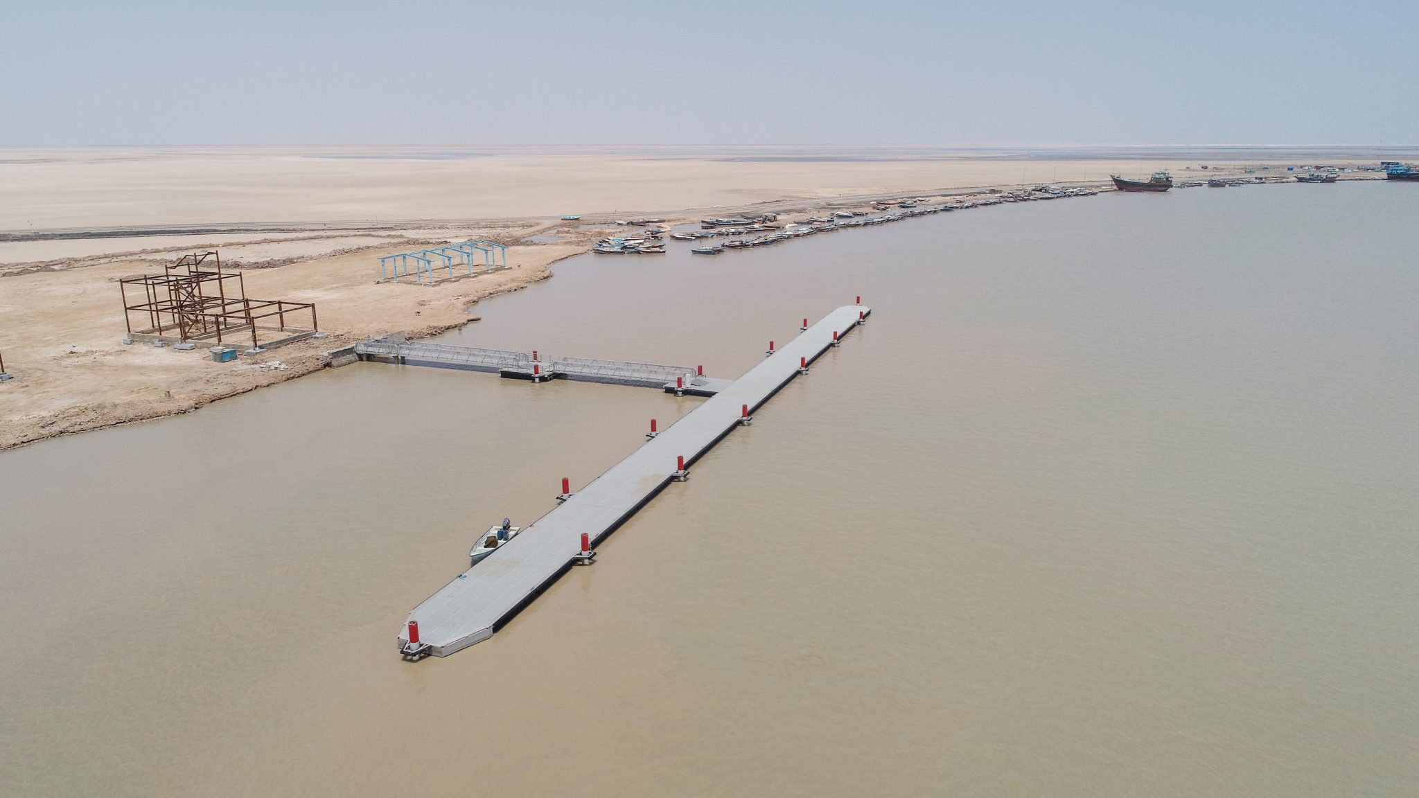
Supreme and construction supervision on floating pier and supportive facility construction of Abu Khozair Estuary
Key Projects, Port Construction
LOAD MORE


