Riverbed and Right of Way Limit Delineation and Land Surveying of Five River Tributaries in the Karkheh Basin (Rivers named Kahman, Herodehno, Herokakareza, Kashkan, Poldokhtar and Cham Zakaria Delfan)
IN River Engineeing
Investor Name:
Published Date:
Location:
Value:
Architecture:
About Project
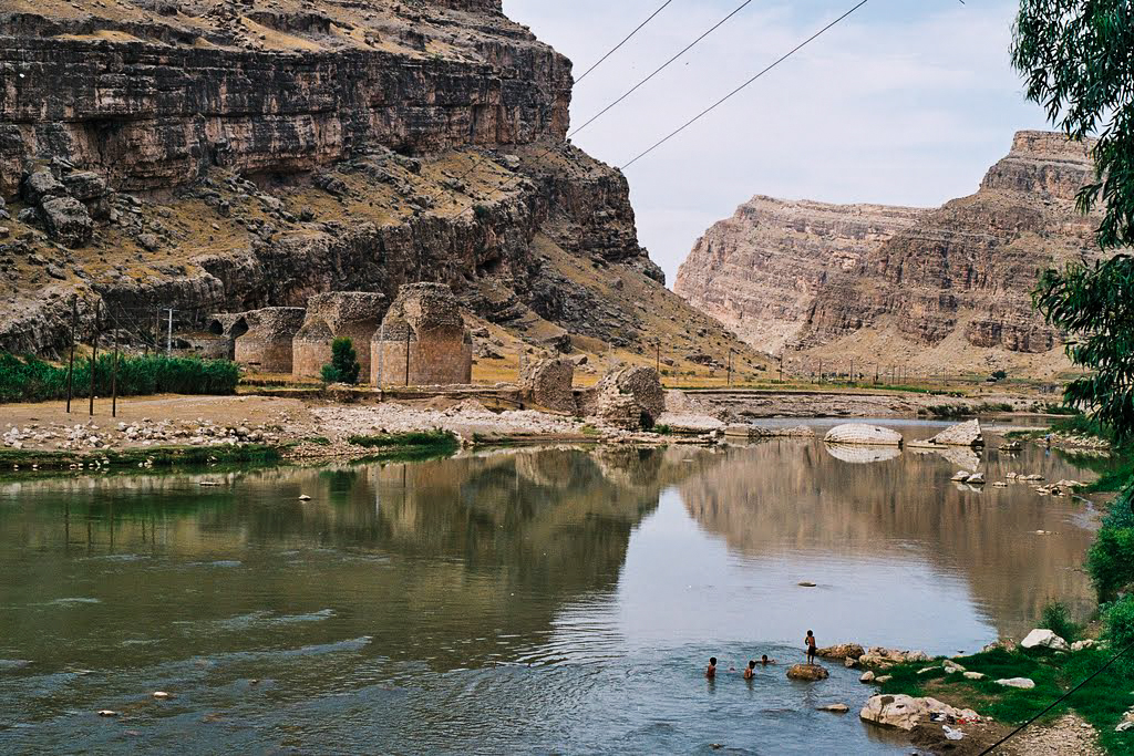
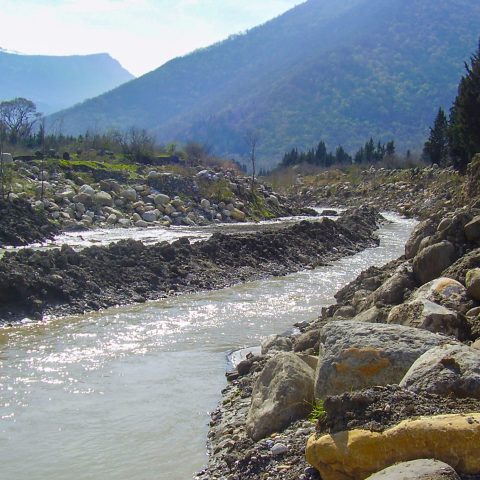
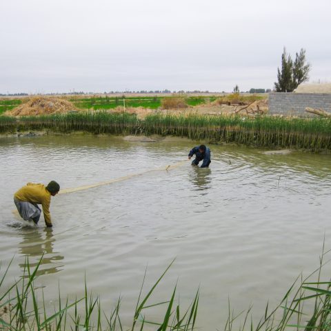
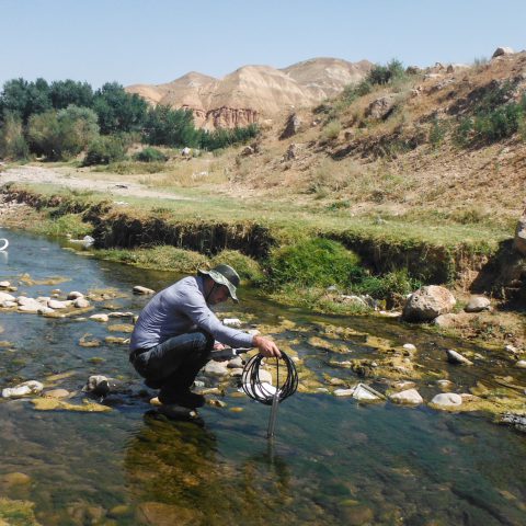
One of the key responsibilities of Regional Water Companies is to protect water resources specially to prevent rivers form illegal infringe, therefore, these companies launch generating riverbed and right of way limit maps to create a platform for legal reaction. Riverbed and right of way delineation of the rivers in Karkheh Basin of Lorestan Province was undertaken by Asarab Consulting Engineering Co. 340 km length of the rivers in the province including Herodehno, Herokakareza, Kahman, Cham Zakaria, Kashkan and Poldokhtar Rivers, were mapped, and its riverbed and right of way limits were delineated. The study consisted of three parts including basic and detailed design studies and synthesizing all the reports.
Actual services:
- Data collection
- Investigating legal status and previous riverbed and right of way limits which have been designated before
- Conducting baseline studies including: physiographical, meteorological and hydrological studies, geological surveying and borrow pit resource assessment in the spatial scope of the project, socioeconomic status assessment in the affected areas
- Exploring current land-uses particularly illegal occupiers in the riverbed and fringes
- Morphological study
- Exploring the situation of erosion and sedimentation in the river as well as interpreting and predicting river behavior in the future
- Hydraulic flow behavior simulation based on different flood recurrence intervals in cross section and active riverbed using HEC-RAS
- Extraction of the flood prone areas and flood plain zoning
- Providing managerial and constructive solutions for river training
- Quantity surveying and estimating
- Preparation of tender documents for riverbed benchmarking

