


Riverbed and Right of Way Limit Delineation of Ardak River
IN River Engineeing
Investor Name:
Published Date:
1970-01-01
Location:
Value:
Architecture:
About Project
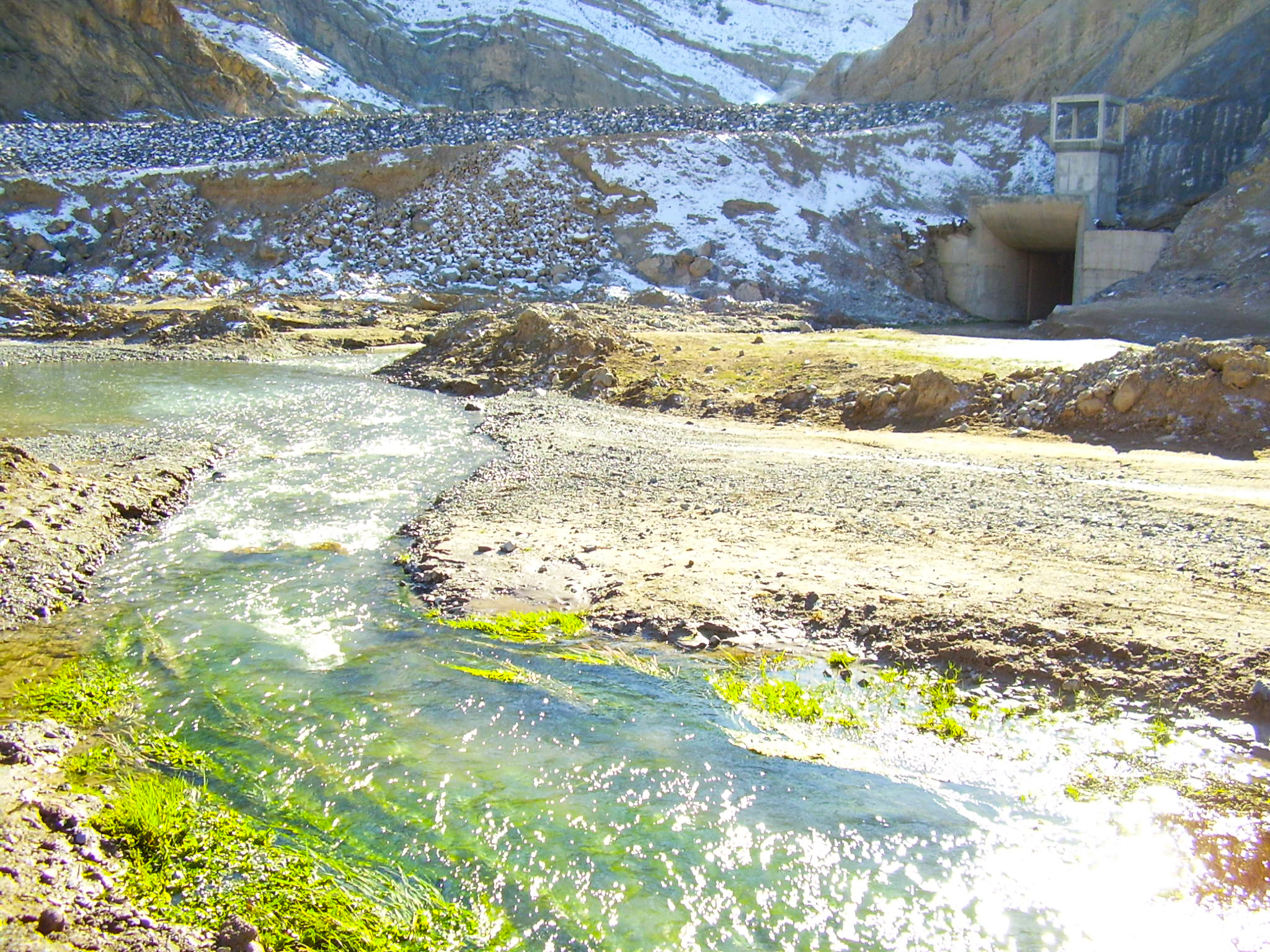
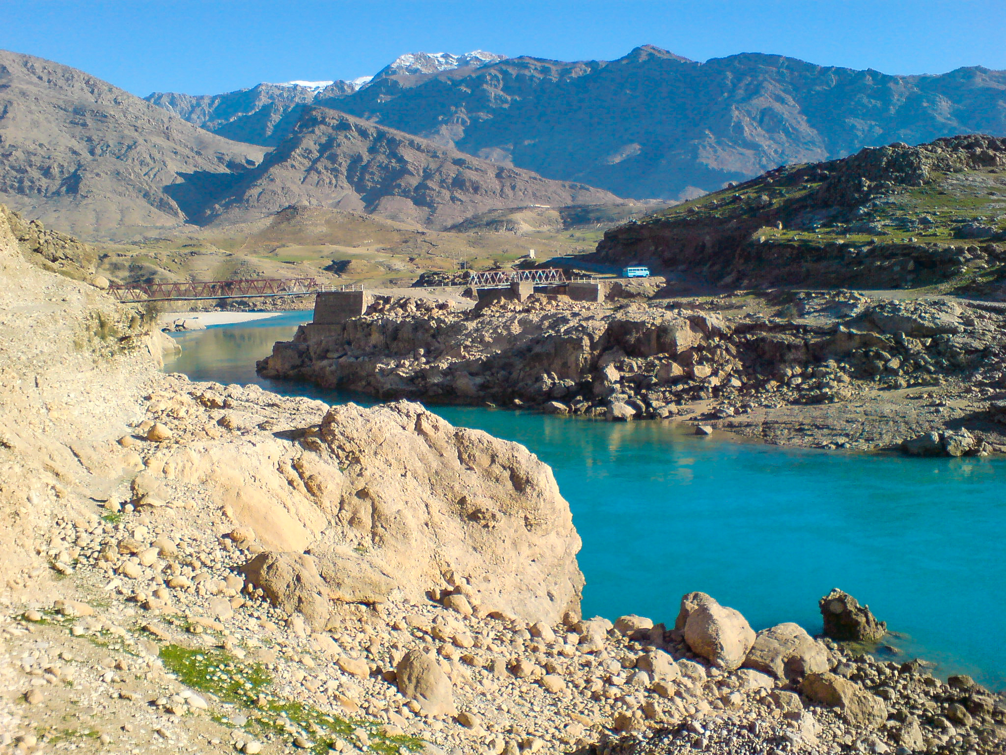
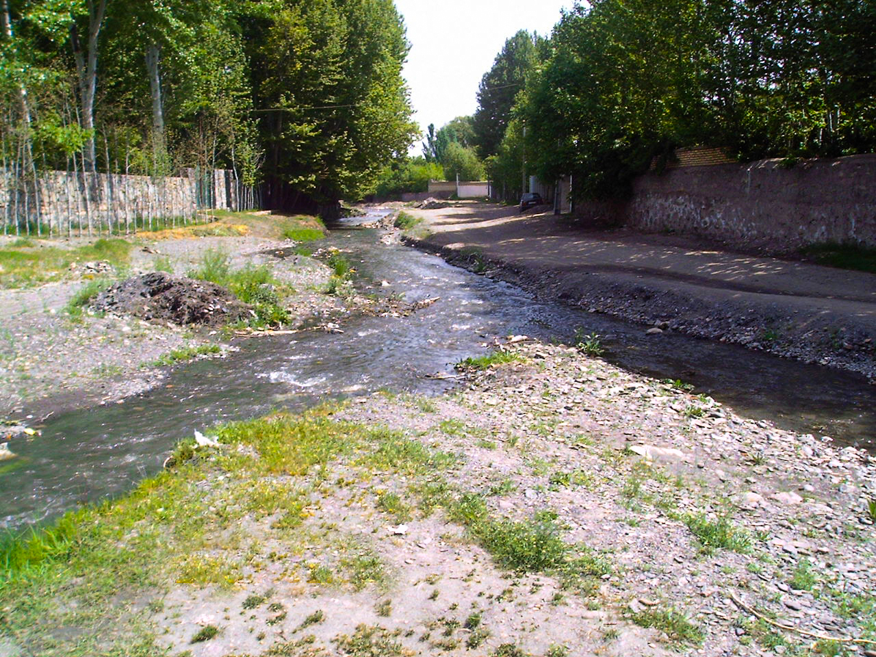
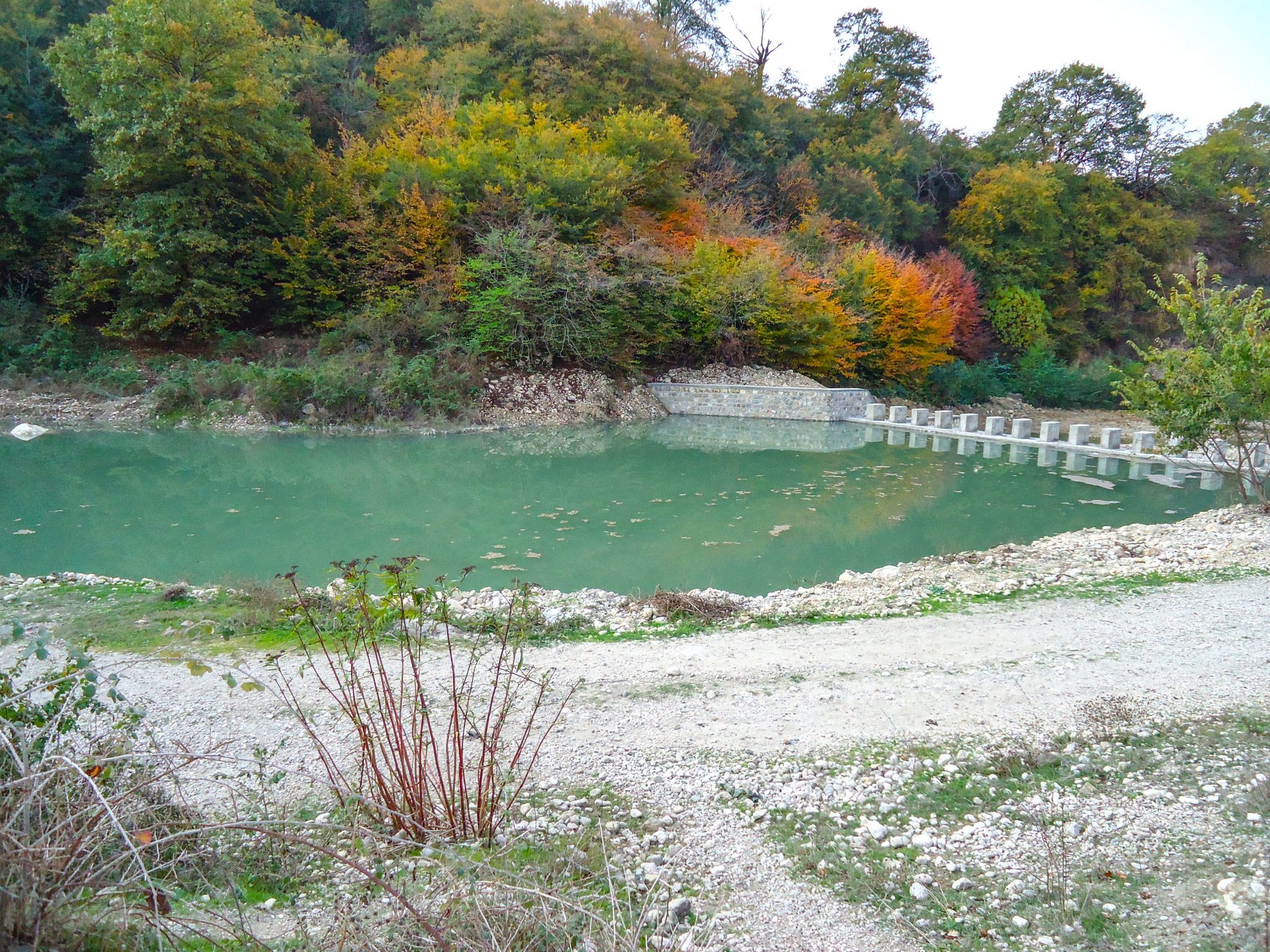
The Ardak River (Booghmaj) originates from the Jahangir Mountains, the highlands of Hezar Masjed Mountains, located in 85 km far from northwest of the Mashhad City. The river flows southwestwards. The river provides Booghmaj, Emroodak and Talghoor with potable water and then turns southwards. The length of this river is 70 km; and the basin area is 589 square kilometers but according to the contract, a distance of 35 km in downstream of under construction of Ardak Dam was the subject of study in this project. Ardak Dam has been under construction in the area 2 km far from Ardak village in the north.
Actual services:
- Data collection
- Conducting baseline studies including: Physiographical, meteorological and hydrological studies, geological surveying and borrow pit resource assessment in the spatial scope of the project
- Socioeconomic studies in the affected area
- Exploring current land-uses
- Morphological study
- Hydraulic flow behavior simulation using HEC-RAS
- Determining the river’s water yield regime
- Exploring the situation of erosion and sedimentation in the river as well as interpreting and predicting river behavior in the future
- Identification of the flood prone areas and flood plain zoning
- Proposing managerial and constructive solutions for river training

