


Complementary land Surveying of Kahman, Herodehno, Hero Kakareza, Kashkan and Khorramabad River between Shabikhun Strait and Anjir Cham to Doab Vaisan
IN Land Surveying
Investor Name:
Published Date:
1970-01-01
Location:
Value:
Architecture:
About Project
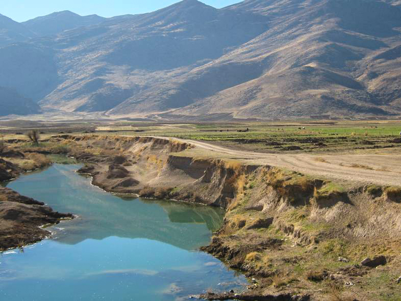
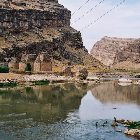
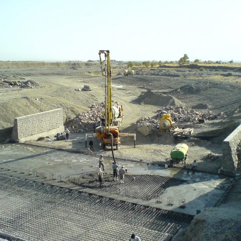
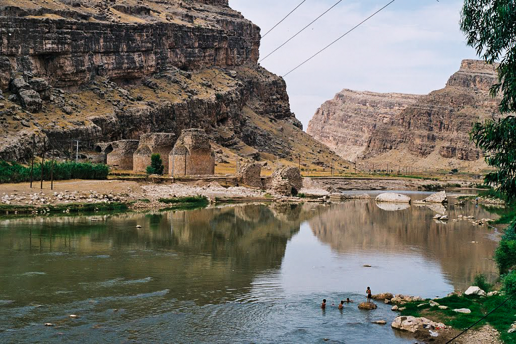
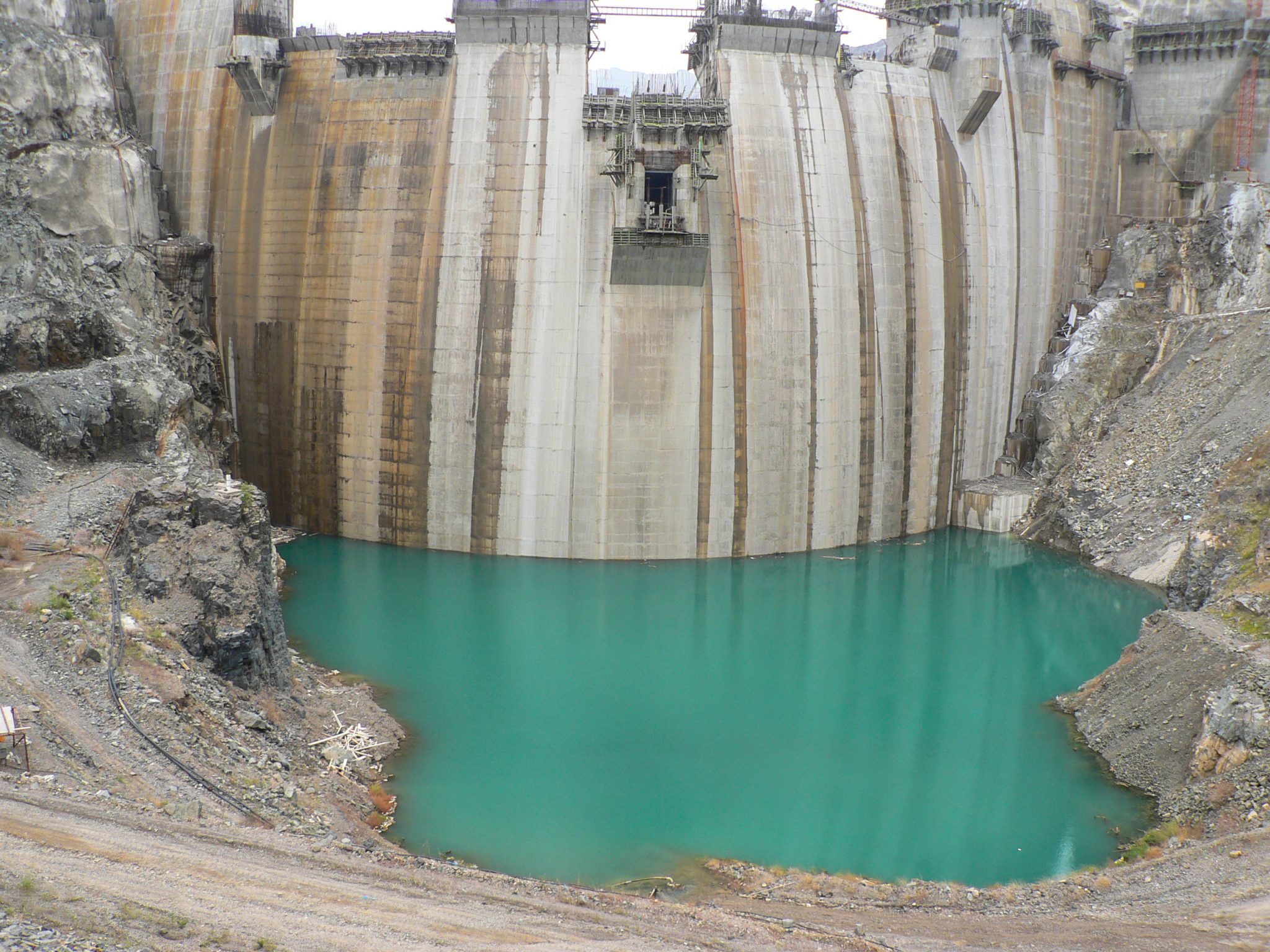
Protection of rivers and water resources depends on specification of riverbed and fringe borders, which requires topographic map preparation of rivers. Therefore, Asarab Consulting Engineers Co. launched land surveying and topographic maps, with scale of 1:1000 and contour interval of 0.5 meter. It should be noted that this distance includes 8,000 hectares in the watershed basin. All the prepared maps have been approved by Iran National Cartographic Centre.
Actual services:
- Topographic map preparation of the rivers with scale of 1:1000 and contour interval of 0.5 meter
- Land use specification in surrounding the river
