Land Surveying and Determination of Riverbed and Right of Way plus Basic Study for River Training of Khiavchai & Aharchai Rivers

Land Surveying and Determination of Riverbed and Right of Way plus Basic Study for River Training of Khiavchai & Aharchai Rivers

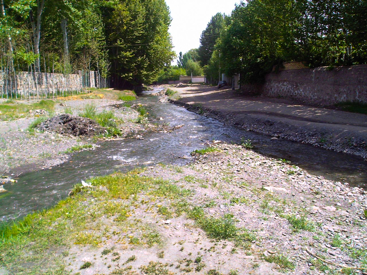
Due to the urban development in Ardabil Province in the recent decades, delineation of flood plain zone, riverbed and right of way in Ardabil Province’s rivers are vividly beneficial to prevent probable environmental damages. Therefore, considering this necessity and in order to implementation of controlling the construction in the rivers’ fringe, Ardabil Regional Water Company […]

Read more
Engineering Study for Construction of Sediment Trap and Sediment Basin in the Siahdarvishan and Chomseqal Rivers through Engineering, Procurement and Construction Project

Engineering Study for Construction of Sediment Trap and Sediment Basin in the Siahdarvishan and Chomseqal Rivers through Engineering, Procurement and Construction Project

10 rivers meet the Anzali Wetland; each of them releases different concentrations of contaminants and sediment into the wetland and consequently led to remarkable water quality loss. Among these 10 rivers, Chomesqal and Siahdarvishan Rivers discharge a large amount of contaminated sediment. Asarab Consulting Engineers Co. conducted a comprehensive study, to estimate the sediment volume, […]

Read more
Riverbed and Right of Way Limit Delineation and Land Surveying of Five River Tributaries in the Karkheh Basin (Rivers named Kahman, Herodehno, Herokakareza, Kashkan, Poldokhtar and Cham Zakaria Delfan)

Riverbed and Right of Way Limit Delineation and Land Surveying of Five River Tributaries in the Karkheh Basin (Rivers named Kahman, Herodehno, Herokakareza, Kashkan, Poldokhtar and Cham Zakaria Delfan)

One of the key responsibilities of Regional Water Companies is to protect water resources specially to prevent rivers form illegal infringe, therefore, these companies launch generating riverbed and right of way limit maps to create a platform for legal reaction. Riverbed and right of way delineation of the rivers in Karkheh Basin of Lorestan Province […]

Read more
Riverbed and Right of Way Limit Delineation of Ardak River

Riverbed and Right of Way Limit Delineation of Ardak River

The Ardak River (Booghmaj) originates from the Jahangir Mountains, the highlands of Hezar Masjed Mountains, located in 85 km far from northwest of the Mashhad City. The river flows southwestwards. The river provides Booghmaj, Emroodak and Talghoor with potable water and then turns southwards. The length of this river is 70 km; and the basin […]

Read more