


Water quality study of Shahid Rajaie Reservoir Dam in Sari City
Investor Name:
Published Date:
Location:
Value:
Architecture:
About Project
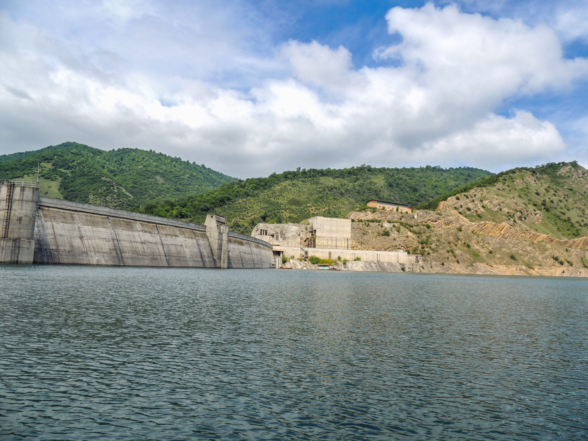
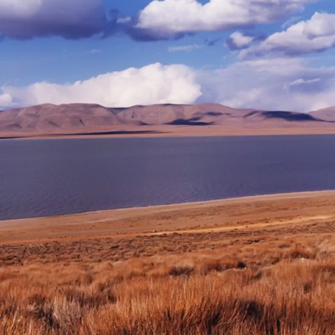
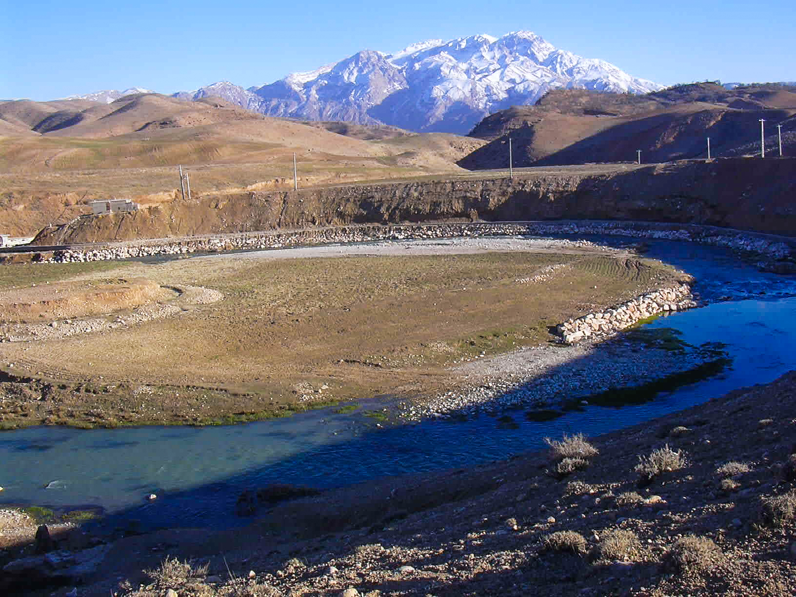
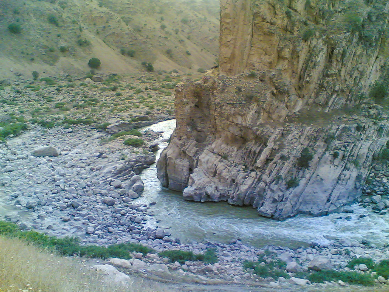
Rajaie dam is located on Tajan River, 45 km far from Sari City. This dam is a concrete double-curvature arch dam with a 493.50 m height from mean sea level, the main purpose of construction this dam is supplying Sari drinking and agricultural water need at the downstream area of the dam. In this study, the water quality of Shahid Rajaie reservoir is evaluated, and finally, a comprehensive and integrated Environmental Management Plan (EMP) is presented based on the results of the monitoring and modelling of the dam. Considering the possibility of eutrophication in the reservoir of Shahid Rajaie Dam and the importance of the outlet water of this dam for supplying of drinking water in the city of Sari, this project and its results were among the priorities of the province.
Actual services:
- Collection of baseline environmental data including climate, surface and ground water resources and pollution sources
- Designing a water quality monitoring network in the Rajaie Dam watershed based on environmental baseline status and pollution sources
- Specification of indicators for sampling of environmental pollutants
- Supplying field quality monitoring equipment for on-site measurement including portable multimeter, portable turbidity meter and sampling containers for stabilization and transferring samples in standard conditions
- River flow measurement, sampling and analysis of physicochemical and water nutrient parameters
- Sampling and analysis of water and sediment contamination parameters including heavy metals, Total Petroleum Hydrocarbons (TPH), detergents, chlorinated pesticides and microbial parameters
- Sampling and identification of plankton, macrobenthos, fish and fish parasites during a year
- Water quality and eutrophication modelling of the reservoir (using 2D model of CE-QUAL-W2)
- Preparing comprehensive and integrated Environmental Management Plan (EMP) based on the results of water quality monitoring and eutrophication modelling
