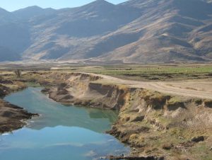


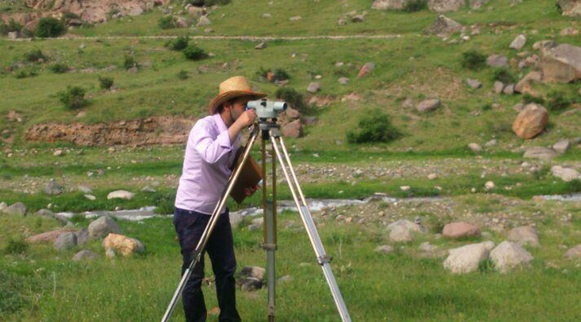
We are vigorously involved in the activities related to land surveying as follows:
- Preparation of regional topographic maps
- Municipal and cadastral map preparation
- Implementation of plans including routes, pipelines and power transmission lines
- Preparation of longitudinal and transverse profiles
- The provision of topographic maps and cadaster, GIS systems, remote sensing services and interpretations, satellite image analysis, …
Projects: